
Information and directions to Peg Field
Peg Field is located on private property on an old ranch landing strip that is 3,000′ long by 50′ wide. The entrance is gated and members are provided with the combination. The first member in unlocks the gate; the last member out locks the gate. The locks are interlinked with other shared user locks to the gate. Visitors should go to the FaceBook page and check on when someone will be there.
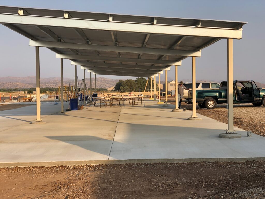
This field offers a 120′ x 26′ hard covered pit area with a 120’x15′ tarmac directly in front. There are two (2) 65’x15′ ramps to the runway. The runway sports a 700′ resurfaced area that is centered on the 3,000′. The pit area offers 20′ wide bays; and each bay has 110vac electrical outlets powered by Solar & Generator. There is electrical lighting to assist with night time operations and end of day loading. Please turn off the lights when leaving.
The field has no constraints as to type and size of aircraft. Customarily to stay friends with the neighbors, we refrain from excessive noisy engines prior to 8:30 AM on Sundays – use your best judgment.
The altitude limit is 1,500′ (the peaks of Jesse Morrow and Campbell Mountains) as established by the FAA in agreement with the AMA; note, that this is subject to change; but, since this is just outside of controlled airspace we are safe for now.
Do not fly to far north over Highway 180; please keep turns reasonable. Do not fly behind the field/pit area/runway for obvious safety reasons. Also, keep a watchful eye for any full size craft which will cross overhead around 2,000 feet (and sometimes lower) at various times. Last, as with our other field, all aircraft must adhere to a Line-Of-Site radio controlled flying motif.
Navigation Address – 1751 S. Alta Ave. Reedley, CA
Click Here for a Google Maps Link – From Hwy 180/Clovis Ave, Fresno
Click Here for a Google Maps Link – From Hwy 99/Kingsburg CA
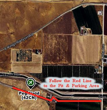

The directions are as follows; head east on Highway 180 (Kings Canyon); depending on the size of your rig will determine the best turnoff. For large RV’s and Travel Trailers, proceed past Alta Ave to Crawford Ave. Make a right turn onto Crawford and proceed to Jensen Ave. At Jensen, turn right (west bound) and proceed back to Alta. At Alta, make a right turn and follow the signs toward Peg Field. All other vehicles can turn off the 180 on to Alta and just over the Friant-Kern Canal make a sharp right downward turn toward the Peg Field access road. For all, once on the access road, proceed all the way to the end past the hangers and follow the signs toward appropriate parking locations.
PEG Field Photos
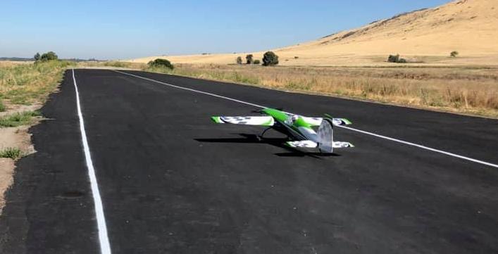
The field has a 600′ paved runway recently resurfaced. Winds are nominally no more than 6-7 mph; from east to west in the morning; then, around noon switch west to east.
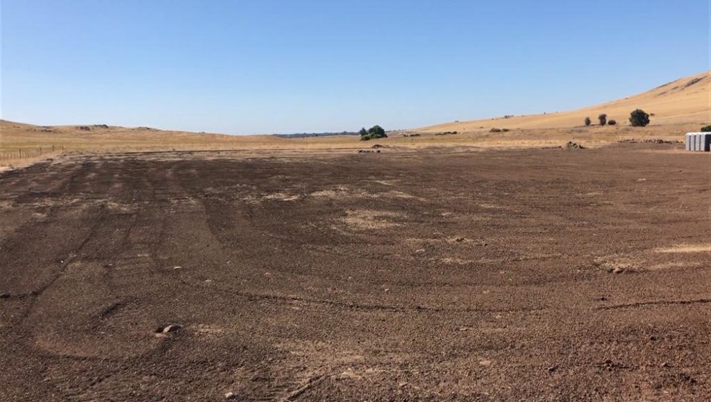
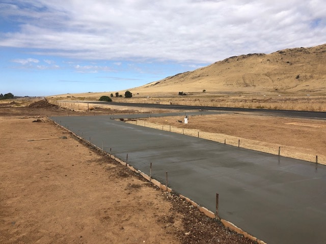
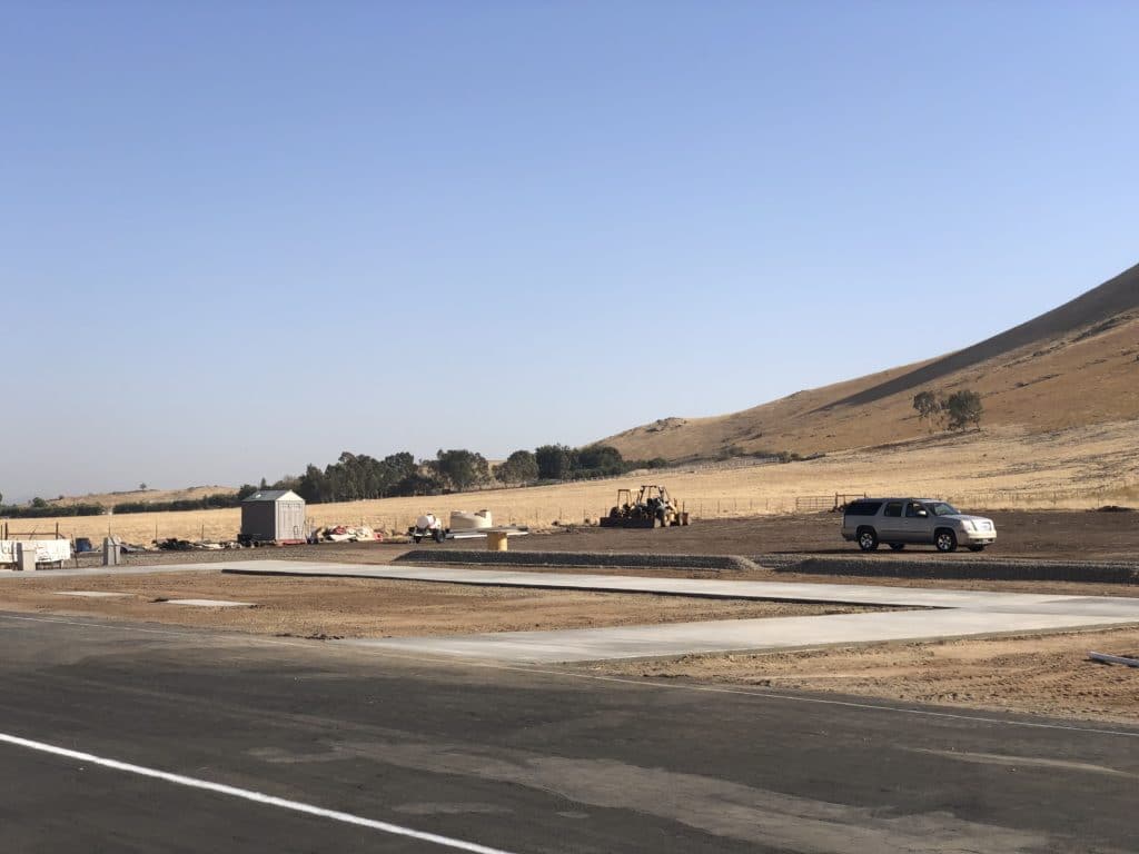
Peg Field Preparation
Over the past few Years the field has undergone a significant transformation in preparation for the US Scale Masters – National Championship, Jet Rally’s, Control-Line Combat, Helicopter Rally’s; and IMAC Competition. From a field of boulders and encroaching cows with a rough runway to a resurfaced runway; boulders cleared for RV, Trailer, Pilot and Spectator parking to runway ramps and a pit frontage, the Clovis Area Modelers – Peg Field is ready for almost any event.